Micka - quick help
1. Foreword
Micka is the software for spatial data / services metadata management according to ISO, OGC and INSPIRE standards.
Supported standards
These standards are implemented:
- Spatial data metadata (ISO 19115)
- Spatial services metadata (ISO 19119)
- Feature catalog (ISO 19110)
- Dublin Core metadata (ISO 15836)
Profiles
Additional metadata elements and user metadata profiles can be used. These profiles are default in the system:
- ISO 19115 mandatory elements
- ISO 19115 core elements
- ISO 19115 full standard
- INSPIRE 19115/19119
- MICKA profile (INSPIRE + ISO core elements and some additional to cover the most user requirements)
- Lite (Simple profile prepared according to provider needs)
- User defined ...
Language environment
Application interface if multilingual. The offered language list is set in configuration file. The interface language may be selected by clicking the flag on the page header. Metadata itself may be also multilingual. The user defines main language and other languages during record creation or record administration. In all cases UTF-8 codepage is used.
2. Metadata querying

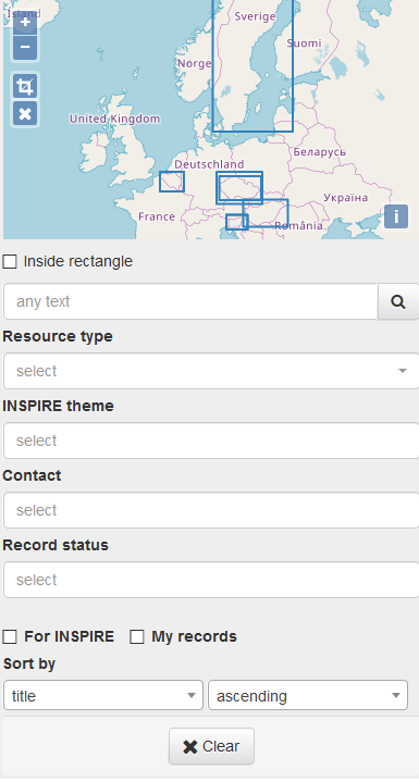
Basic search is supported in the application. Search form is configurable according the provider needs. Other search capabilities are allowed by catalogue service which is integral part of the software. (Connect point is at /csw).
For authorized users the extended search form is displayed. The search criteria come from mandatory CSW queryables, INSPIRE and provider needs. The result is defined as intersection between all filled search form fields (logical AND). Multiple values in the fields are treated as union between the values (logical OR).
After search the result list is displayed. Clicking the hyperlinked title the single record sumary metadata is displayed. Other functions are available in the header of each record.
Where more than 10 resuls are available (may be configured), the paging is used.
3. Metadata editing
Logged users can create, edit, import/export and delete metadata records according to their rights.
4. Administration
Administrators have acces to this part.
5. Metadata editing guidelines
Metadata editing requires some knowledge of standards, hence some education training or some consultation are recommended.